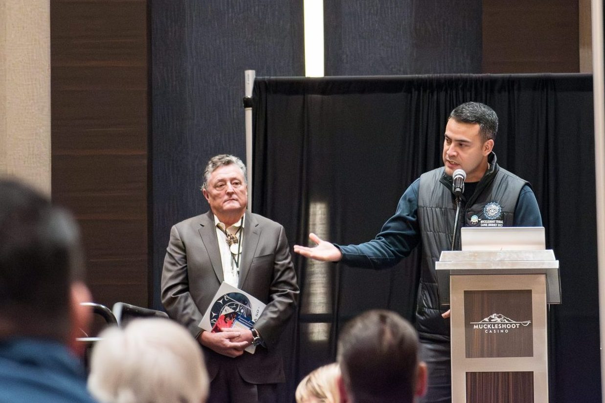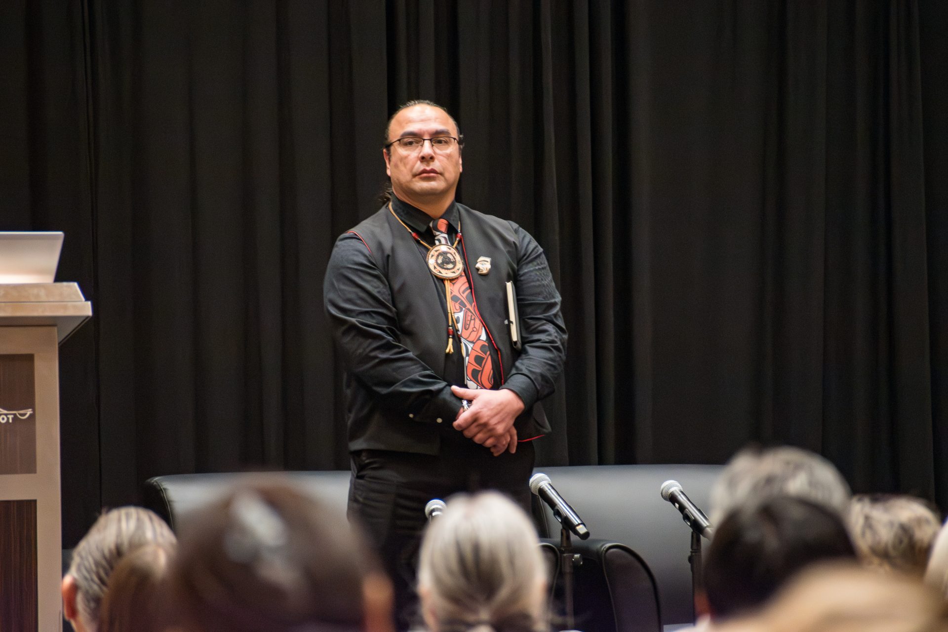
It’s only taken a few years for the Olympic Cougar Project to develop a picture of how the cougar population is surviving on the Olympic Peninsula, while telling a bigger story about wildlife habitat.
The Lower Elwha Klallam Tribe has led the study since 2018, in partnership with the nonprofit Panthera and five other tribes: Port Gamble S’Klallam, Jamestown S’Klallam, Makah, Quinault and Skokomish.
Initially, the partners suspected cougars were not moving outside the peninsula.
“For cougars to get onto or off the Olympic Peninsula, they need to cross a huge highway, like I-5, or they need to cross water,” said Kim Sager-Fradkin, Lower Elwha Klallam’s wildlife program manager. “We know cougars have lowered genetic diversity on the peninsula, and that’s becoming a problem potentially for their population. We need more genes and that is very likely the case for other animals, such as deer and elk that are important for tribal subsistence harvests.”
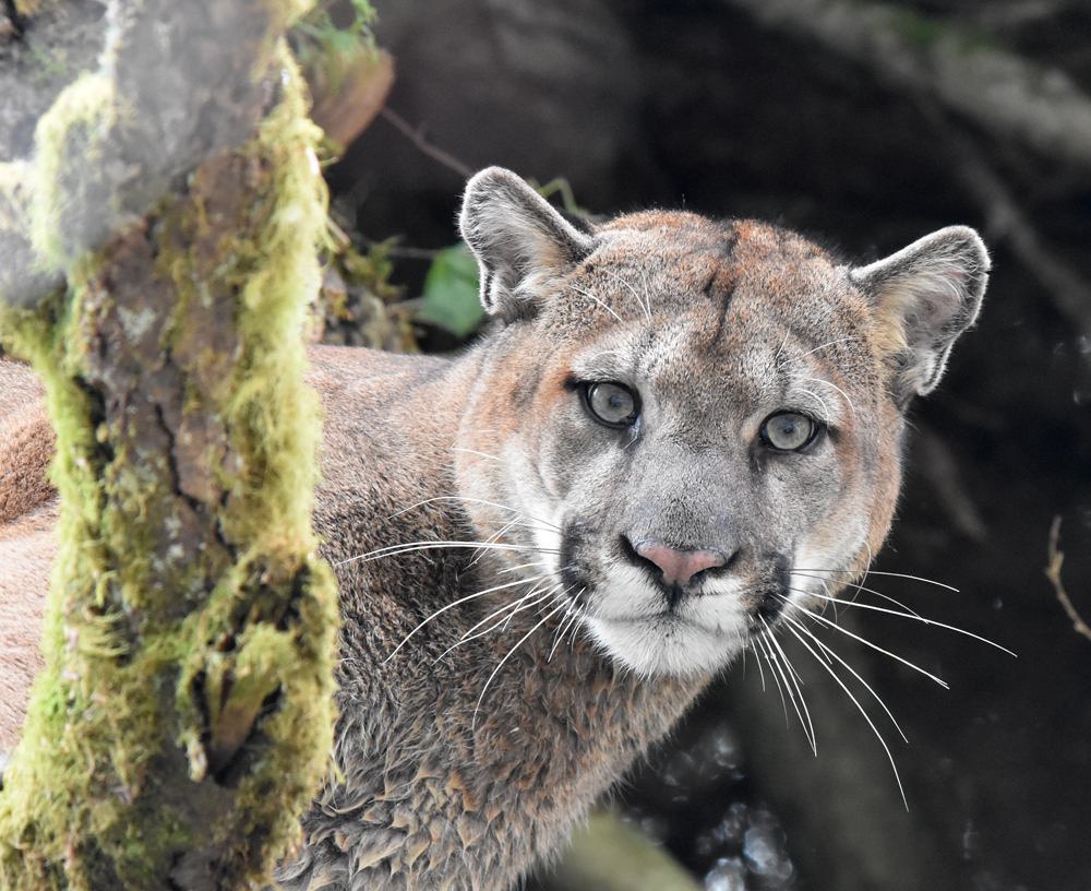
The project is using GPS collars to monitor cougars’ locations, studying their scat for DNA, poking through the remains of kill sites to understand what they eat, and creating a massive motion-sensor camera system to learn how cougars and other animals are using the habitat. The effort has resulted in more than 100 cats being tracked.
More than 500 cameras have been installed across the peninsula, taking thousands of photos of not only cougars, but also deer, elk, bobcats, fishers and bears. The footage helps develop population estimates and statistical modeling for multiple species.
“The photos from the cameras help the tribes set biologically appropriate hunting regulations—to make sure that we have deer and elk for current and future generations,” Sager-Fradkin said.

The GPS collars, which send out a location hourly and have batteries that can last several months, show how cougars move around the region. One collared cat was seen doing a loop of the peninsula between February 2022 and January 2023. Another was seen trying to leave his mother and find his own habitat, Sager-Fradkin said.
That cougar’s tracks showed he was bumping into Seattle and Olympia and hitting the highways but backing off, “because he finds he can’t get through any of these human-dominated environments,” Sager-Fradkin said. He was seen getting all the way to the Columbia River and trying I-5 again but didn’t cross.
“This is the kind of data that will help us, ultimately,” Sager-Fradkin said. “We hope we can show the big picture of wildlife on the Olympic Peninsula by demonstrating that we need connectivity.”
Habitat connectivity enables animals to move freely from one place to another, which diversifies the gene pool. As the I-5 corridor continues to expand, and as people move to the area and build homes, connectivity becomes more severed, she said, negatively affecting wildlife.
“Cougars are helping us because we can see with the data how they’re moving, where they’re moving, and what forest paths they are taking,” she said. “Because whatever forest paths they are taking, other animals can take as well.”
Story by Tiffany Royal. Cougars living on the Olympic Peninsula are photographed as part of the Olympic Cougar Project. Provided by Mark Elbroch (top) and Sebastian Kennerknecht (inset)